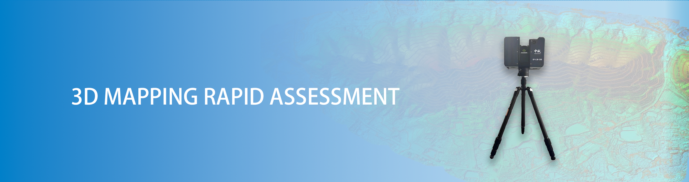
3D laser scanning technology plays an important role in emergency rescue work. It can quickly provide rescue teams with detailed 3D mapping data of the disaster site. These high-precision real-time data provide a solid foundation for commanders to make scientific decisions, thereby improving the efficiency and safety of rescue operations. In addition, the scanner can also be used to quickly evaluate the structure and rupture mechanism of potential danger sources such as collapsed bodies, realize real-time monitoring and early warning of disaster progress, and effectively prevent secondary disasters.
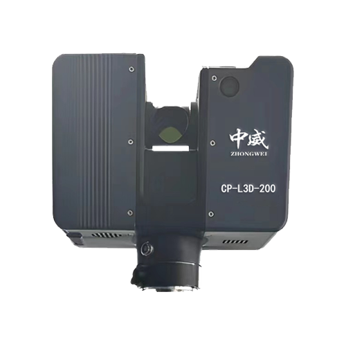
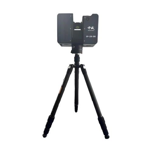
Maximum measuring distance | 2800m natural target ρ≥90% |
Distance measurement accuracy | 5mm |
Repeatability | 5mm |
Scanning field of view | Vertical 100°/Horizontal 360° |


 CN
CN EN
EN
 Life Detection and Search
 Through-wall detection
 Weather monitoring
 Deformation monitoring
 Regional alert
 Forest fire prevention
 Rolling Stone Monitoring
 3D Mapping
 Gas Detection